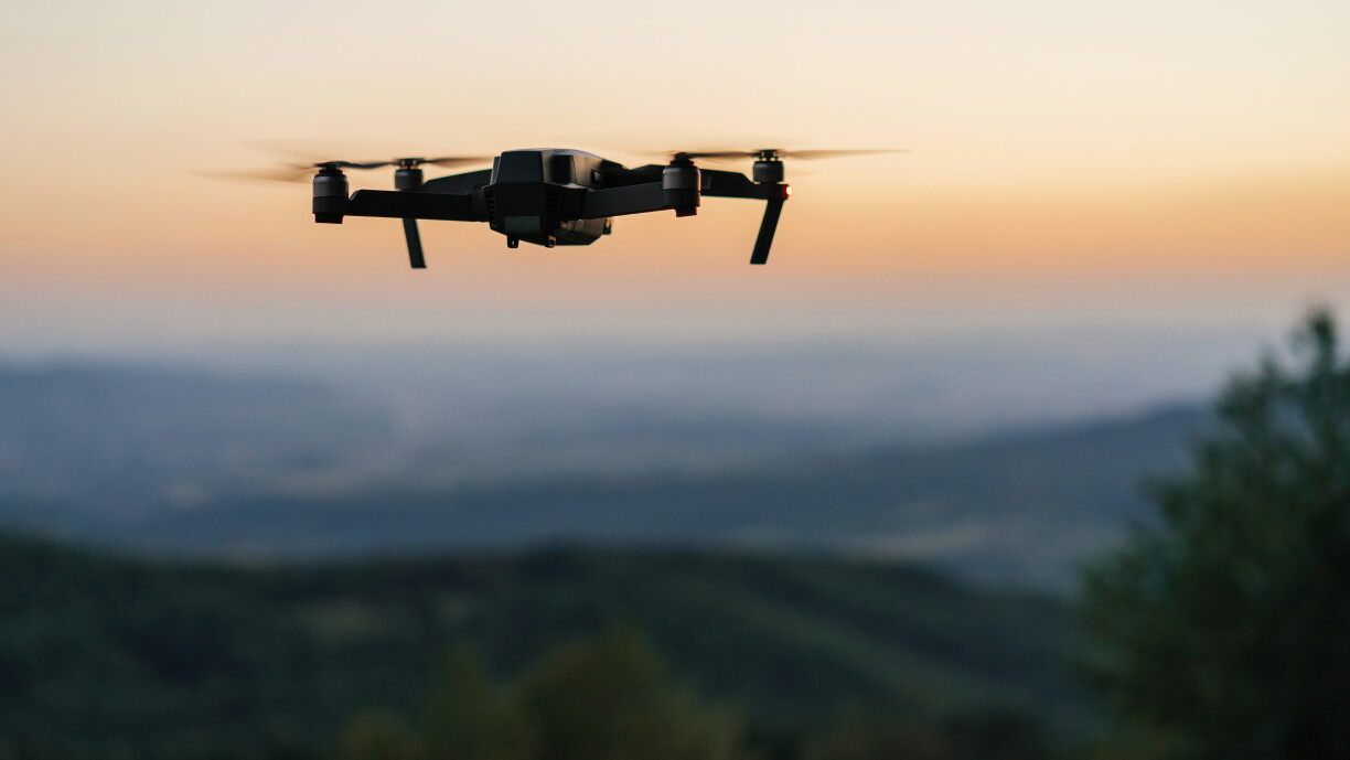
Is it truly possible to distinguish a drone from an aircraft, especially at night? According to Gilles Rock, President of the Luxembourg Drone Federation, even experts cannot say with certainty what types of drones were flying near the airport last Friday. Given the current geopolitical climate, Rock cannot rule out that the drones might have been operated with malicious intent, nor can he exclude the possibility that they were flown by private individuals – for photography, wildlife tracking, or legitimate professional uses such as inspections or surveying.
Rock points out that identifying whether a drone is a hobby or professional model is no easy task. Commercial drones are required to display specific features, such as red or green navigation lights, but judging the size, distance, or even the type of drone becomes "incredibly difficult", especially at night. The problem is compounded by the fact that a large drone far away and a small drone nearby can appear confusingly similar.
The presence of lights alone is not enough to distinguish drones from aircraft. While planes typically have an additional white strobe light, they also feature red and green lights much like drones do, making them appear "surprisingly similar." The main differences lie in behaviour: drones usually have a flight autonomy of just twenty to thirty minutes, while airplanes remain airborne for much longer. Aircraft also tend to follow straight, linear paths, whereas drones make more jittery, lateral movements.
Sound can also be a clue – drones, with their four rotors, make a distinct noise compared to aircraft – but as distance increases, these cues become less reliable.
For the general public, Rock advises using apps such as Flightradar to check for registered aircraft overhead. Many are surprised by just how many planes can be seen flying at altitudes above 10,000 metres, and these tools can often help rule out drones as the source of suspicious sightings.
Nicolas Zharov, Vice-President of the Drone Federation, explains that a variety of sensors exist to detect drones, including radar, acoustic, visual, and thermal imaging systems capable of identifying drones at night. However, these measures are reactive rather than preventive, and he argues that Luxembourg should aim to anticipate threats rather than respond to them. Drone technology is evolving rapidly – something plainly evident in Ukraine – so Luxembourg needs to innovate and adapt its approach to effectively protect its airspace.
One technology already in use elsewhere in Europe, but not yet deployed in Luxembourg, is "Drone ID." This system identifies both the drone and its operator, says Zharov. Looking to the future, he notes that the number of drones in the sky will only increase, and Luxembourg will need a more robust system to manage air traffic.
Technologies like 5G could offer a comprehensive picture of activity over the country, but such solutions require a supportive legal framework and incentives for companies to develop these services. France and Germany, for example, have updated their laws to enable private companies to help safeguard critical infrastructure such as airports.
Ultimately, Zharov stresses that early detection of drones is crucial, as they can approach at extremely high speeds and must be spotted from afar. He believes an effective response requires not only a national solution but also European cooperation – particularly with neighbouring countries – to ensure swift communication and action. He also notes that the Luxembourg government reacted quickly to recent incidents, deploying solutions to protect the country's airspace.