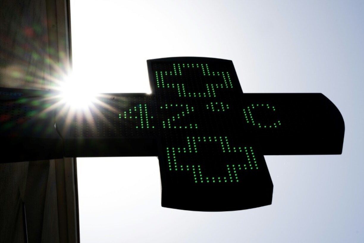
A new heatwave is expected to take hold across France starting Tuesday, 28 July, initially affecting the south-west before quickly spreading to cover three-quarters of the country. Forecasters warn that this episode will be particularly intense and is likely to last longer than previously predicted, with exceptionally high temperatures expected to persist at least until the weekend of 1 and 2 August.
The recent drop in temperatures, thanks to thunderstorms in southern regions and showers forecast for the north and the Greater Region on Sunday, will offer only brief relief from the summer heat.
By Monday, high pressure will reassert itself, sending temperatures rising once more. On Tuesday, significant heat is expected to settle over Aquitaine and Occitanie, where highs of 34 to 37°C are forecast, while central France will see temperatures climb to between 30 and 34°C.
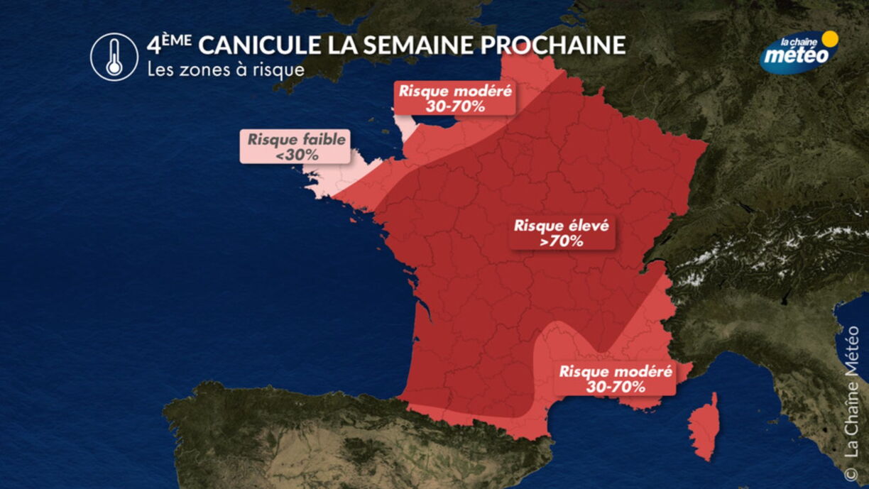
By Wednesday, the heatwave is set to extend to much of France. From the south-west to the centre, temperatures could approach 40°C, while Paris and the north-east are likely to see readings well above 35°C. Only regions close to the English Channel and parts of the Mediterranean coast are likely to remain largely unaffected by the extreme heat.
Meteorological indicators show the severity of this episode. The national thermal index—an average of minimum and maximum temperatures from 30 cities, is projected to reach 28.4°C on Thursday and 28.3°C on Friday, exceeding the peak recorded in mid-July, though still below the unprecedented 30°C mark registered at the end of June.
The highest temperatures are forecast along a south-west to north-east axis, with peaks of 40–41°C possible and widespread values between 35 and 38°C from Wednesday through Friday. The heatwave is expected to continue into the weekend of 1 and 2 August, though western regions might see slightly cooler air from the Atlantic. However, forecasters remain uncertain as to when the heatwave will end, with some models suggesting that extreme temperatures could persist until as late as 5 or 6 August.
Nights will offer little respite, with conditions becoming increasingly uncomfortable. While the night from Monday to Tuesday should remain relatively bearable, minimum temperatures are not expected to drop below 20°C from the south-west to the centre of the country from Tuesday night onwards.
Next week is set to bring variable weather to Luxembourg, before a sharp rise in temperatures mid-week. Sunday will see mostly cloudy skies with occasional sunny spells and light showers. Temperatures are expected to remain moderate at 23 to 25°C in the afternoon, with at times stronger south-westerly winds.
Monday will start grey and damp, with a veil of cloud cover expected in the evening, and slightly cooler temperatures between 22 and 24°C. A dramatic change is forecast for Tuesday as sunshine returns and afternoon highs rise to 28 to 30°C, signalling the start of a distinctly hotter period.
By Wednesday, Luxembourg will find itself in the grip of intense heat, with temperatures reaching 33 to 35°C under clear skies, and overnight lows hovering around 18 to 20°C. Thursday is expected to bring further increases, with highs of 34 to 36°C, abundant sunshine, and gusty south-westerly winds reaching 40 to 50km/h. The week will thus be marked by a rapid shift to summer-like conditions, with soaring daytime temperatures and increasingly stifling nights.
This is now the fourth major heatwave France and Luxembourg have faced this summer, a record-breaking phenomenon. The arrival of yet another intense spell of heat comes at a time when the region is already grappling with severe drought and unprecedented wildfires, making this latest heatwave especially concerning for the most vulnerable areas.