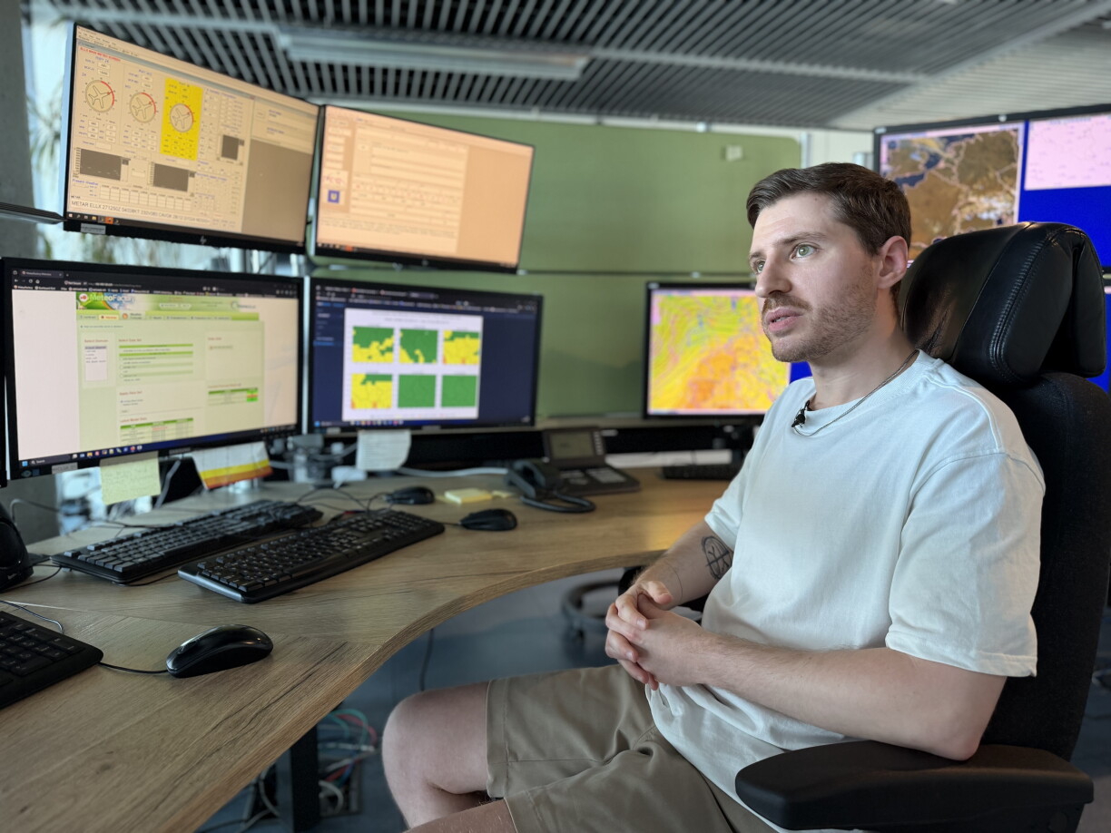
Summers in Luxembourg are getting hotter, and not just for a few days but sometimes for weeks at a time. High temperatures alone are no longer the only cause for concern, as the heavy, humid and oppressive heat becomes an increasing burden.
To better prepare both the public and the authorities for heat waves and to spot health risks earlier, MeteoLux is adopting a new warning system that no longer relies solely on measured temperature but instead places the emphasis on perceived heat. The change is intended to make warnings more precise, easier to understand and more useful.
The temperatures Luxembourg is currently seeing in May are far from normal. For days the thermometer has climbed to summer levels almost never recorded so early in the year. Meteorologists regard it as an exceptional weather event and a further sign of increasingly extreme heat periods. Findel in particular has logged values in recent days that are historic for the month of May, according to Luca Mathias, a meteorologist at MeteoLux.
Mathias said Findel had now seen four consecutive days above 27°C, with another four forecast to follow. He noted that almost eight days in a row above that threshold in May would be something not observed at the station in the past 79 years.
Until now, MeteoLux warnings have been based mainly on the maximum air temperature. But a single figure does not always reflect how strongly heat is actually felt. Humidity, wind, and whether the air cools down overnight all play a decisive role.
This is where a new index comes in, one that simulates how the human body responds to heat. The Universal Thermal Climate Index draws together factors such as temperature, humidity, wind and the intensity of solar radiation into a single value, offering a far more realistic estimate of the thermal stress the body actually undergoes.
Mathias explained that everyone has experienced how 30°C in still, sweltering air is much harder to bear than 30°C with plenty of wind and low humidity. He said this was the distinction the new system and index aim to convey to the public, namely that temperature alone does not always indicate how stressful conditions really are.
The national weather service notes that the number of hot days and heat waves is rising overall, with prolonged spells proving especially problematic. When the air fails to cool properly at night, the body can no longer recover. For that reason the new index calculates an average temperature across the whole day, and the duration of a heat wave will now factor into the assessment. MeteoLux has accordingly redefined its three warning levels, adjusting them to the length and intensity of the perceived heat.
Mathias said the service looks at how high the daily average index is and how long that average persists consecutively. An average above 24°C lasting at least two days places conditions in the orange zone, while a reading above 27°C for at least three consecutive days moves into the red zone.


Last year, MeteoLux issued 14 heat warnings in total, of which one was red, three orange and 10 yellow. Under the new system, fewer warnings may be issued.
Mathias continues: "This means that for a red warning according to the new system, you have to have thermal stress for at least three days in a row. And that is a huge change compared to the previous warning system." He explained that a re-analysis over the past 25 years showed the new system would have triggered a red warning only three times in that period, far fewer than the older method used in recent years would have produced.
In the future, alerts will be issued up to 48 hours in advance. This should help not only the public but also give the authorities the time they need to put measures in place and improve their coordination.
The dangers of heat waves should not be underestimated, as high temperatures sustained over several days can lead to exhaustion, circulatory problems or even heatstroke.