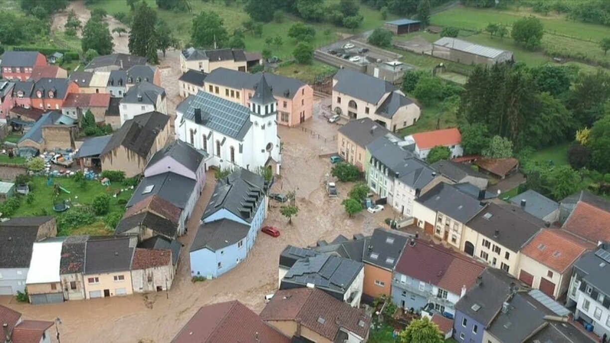
This was the case during the 2016 floods of the White Ernz and in Greiveldange and the Mullerthal in 2018. The damages went into the millions with number of injured people.
These types of events are likely to increase as a consequence of climate change, says the Ministry of the Environment. To help minimise the impact, the water authorities have developed digital maps showing which areas of the country are particularly at risk after heavy rains.
Being aware of potential dangers is particularly important in this scenario, where there is little to no time to react in the moment, says Christine Bastian from the water authority:
''These are high intensity rains over a short period of time and a very limited area. The soil is immediately saturated, which means the water cannot be absorbed and most of it stays on the surface."
This can lead to extreme flooding and requires a risk reduction strategy. Using complex calculations, they simulated where water was likely to collect or flow in the various locations, explains Claude Meisch, responsible for heavy rains at the water authority:
"The purpose of heavy rain risk maps is to create awareness. Part of our strategy is to provide the public with information. This allows people to check and know in advance where damages are likely to occur."
Some high risk zones were identified in conjunction with the municipalities and the current strategy needs to be further developed, says Christine Bastian. But it was important to make a start.
The maps can be found on geoportail.lu under the "Water" category. Select the layer "Floods directive", then "Flashflood". A direct link to the relevant map is here.


